

Broadband Maps & data
Explore state, federal, and demographic maps that help identify broadband gaps, understand community connectivity, and plan stronger broadband projects across Alameda, Contra Costa, and Solano counties.
Using maps to identify gaps, understand need, and plan projects
HOW EBBC USES MAPS
No single map tells the whole story. EBBC uses multiple data sources alongside local knowledge to understand where service is available, where households remain disconnected, and where public investments can support stronger broadband projects.
-

Identify Infrastructure Gaps
Compare broadband availability, providers, technologies, and speeds to understand where service gaps remain.
-
Understand Household Connectivity
Use subscription and demographic data to identify communities where infrastructure availability may not translate into household connectivity.
-
Plan Broadband Investments
Connect service gaps with grant eligibility, existing projects, and middle-mile routes to identify and advance competitive broadband projects.
EXPLORE BROADBAND MAPS
State, federal, and demographic tools for broadband planning
Different maps answer different questions. Together, they can help local governments, community partners, housing organizations, and providers better understand broadband conditions and opportunities in the East Bay.
EXPLORE BROADBAND MAPS
State, federal, and demographic tools for broadband planning
-
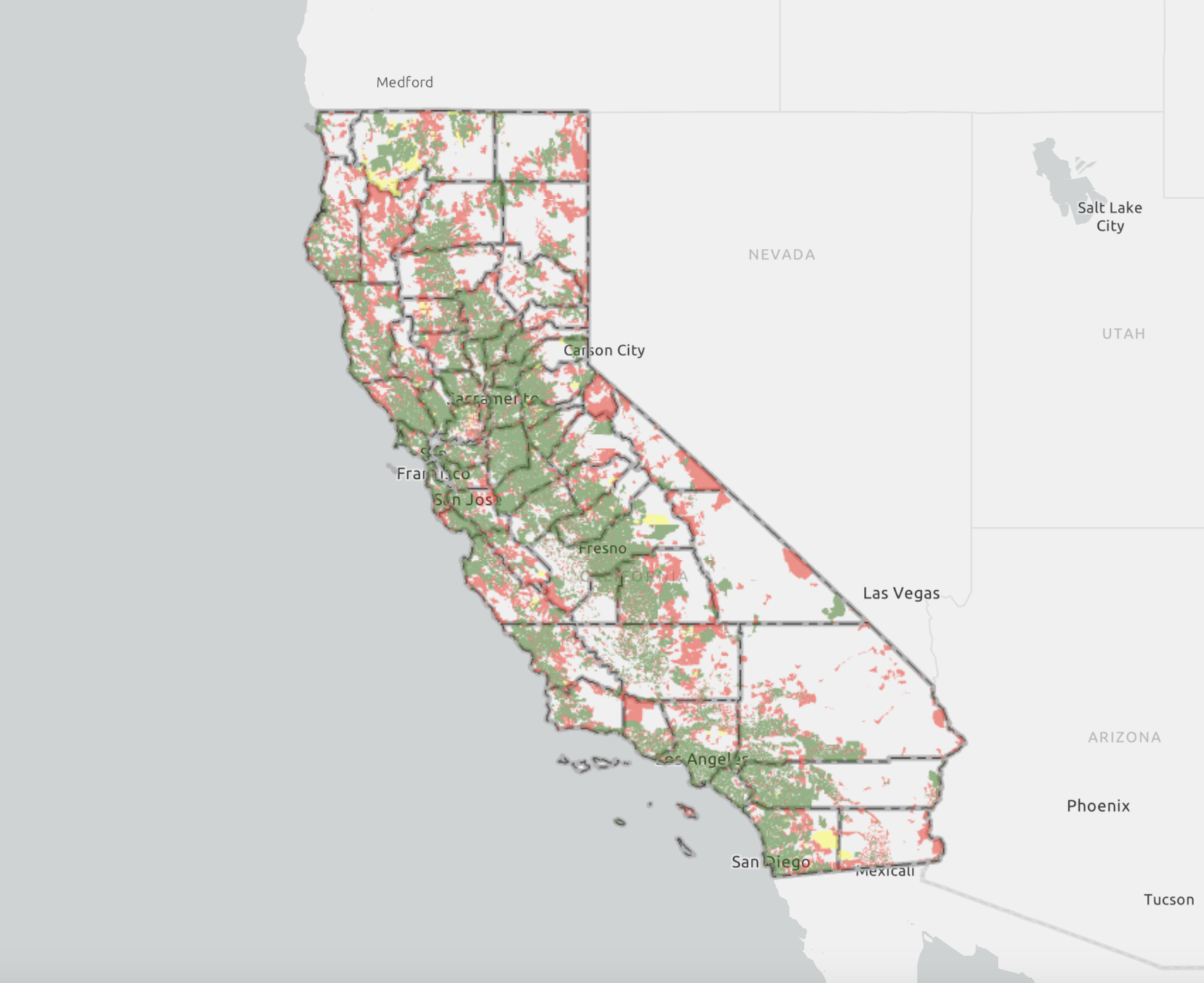
California Broadband Infrastructure Map
What It Shows
Broadband availability, service providers, technologies, public feedback, and CASF-related project and eligibility layers.Use It For
Identifying CASF-eligible and priority areas, reviewing previous and proposed projects, and screening locations for infrastructure planning.Best For
CASF planning and project identification.Source: California Public Utilities Commission
-
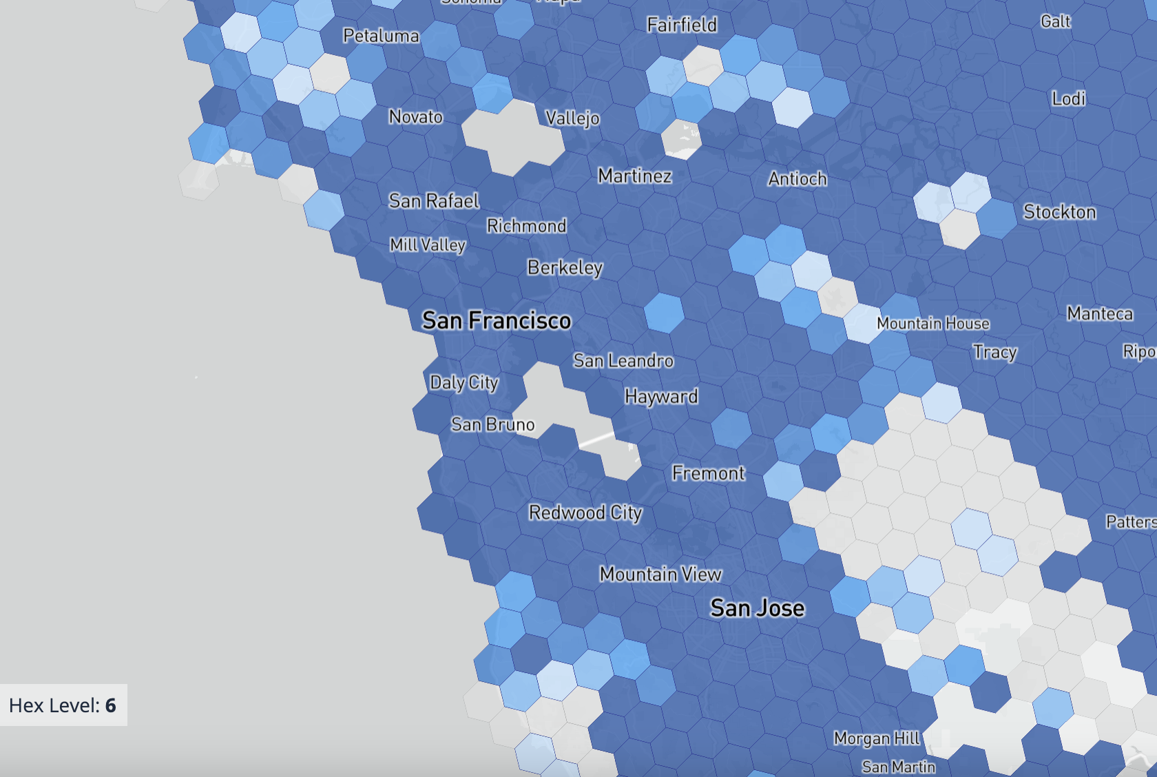
FCC Broadband Map
What It Shows
Location-level reported broadband availability, providers, technologies, and advertised upload and download speeds.Use It For
Checking reported service at specific locations, comparing provider footprints, and flagging data issues relevant to federal planning and investment.Best For
Federal availability data.Source: Federal Communications Commission
-
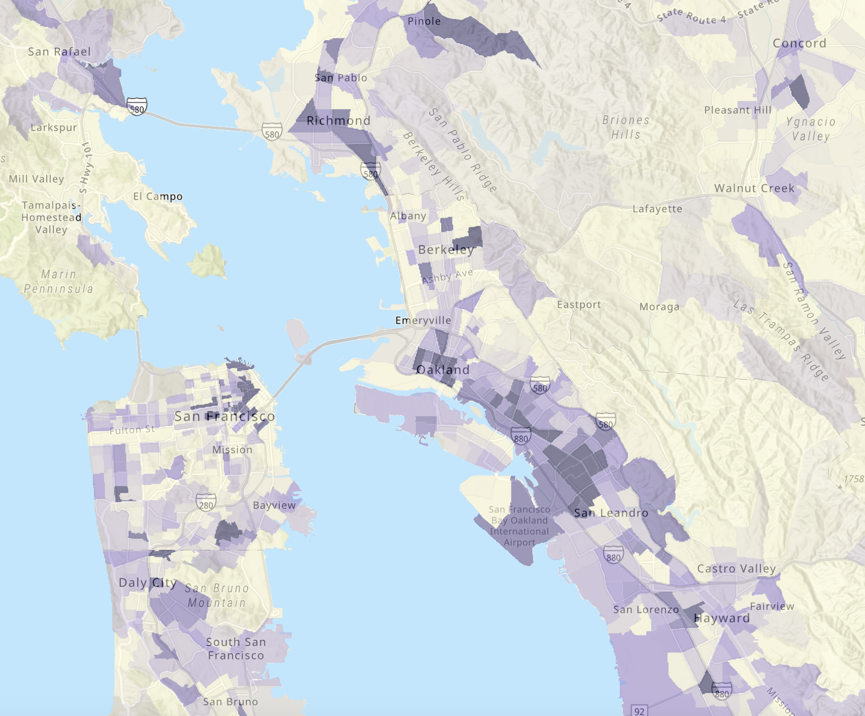
ACS Internet Connectivity Map
What It Shows
Household internet subscription and connectivity patterns based on American Community Survey data.Use It For
Identifying communities with lower subscription rates and informing affordability, outreach, and demand aggregation strategies.Best For
Household connectivity and demand.Source: Federal Communications Commission
-
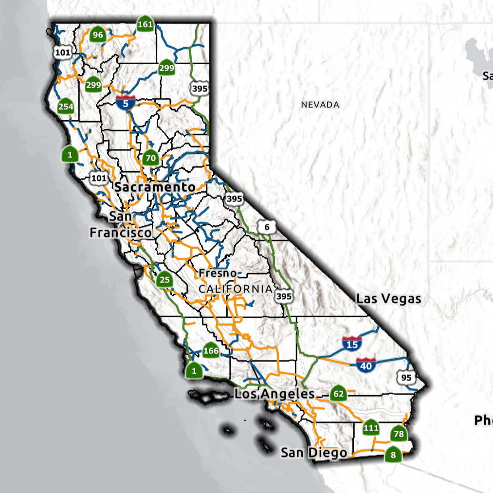
State Middle-Mile Broadband Map
What It Shows
Routes and project information for California’s statewide middle-mile broadband network.Use It For
Understanding backbone infrastructure, identifying possible connection points, and coordinating last-mile project development.Best For
Middle-mile coordination.Source: Statewide Open-Access Network
-
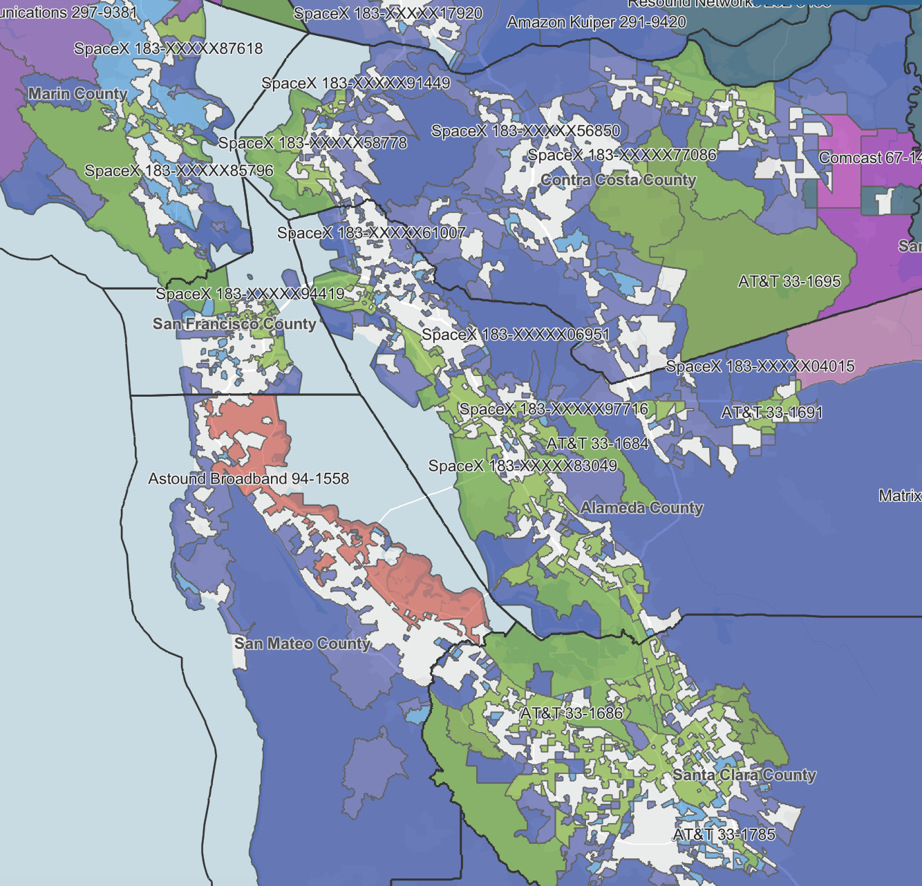
BEAD Awarded Projects Map
What It Shows
California BEAD project areas, selected providers, technologies, awarded locations, project costs, and proposed service information.Use It For
Seeing which providers were selected to serve BEAD-eligible locations, reviewing project boundaries and technologies, and identifying areas receiving planned broadband investment.Best Ford
Understanding where BEAD-funded service is planned and which provider is expected to serve each area.Source: California Public Utilities Commission
Maps are a starting point, not the whole picture.
Broadband maps draw from different datasets and reporting methods. EBBC works with local governments, community organizations, providers, and residents to pair mapping data with local knowledge and identify actionable broadband priorities.
Working on a broadband project?
EBBC can help you compare broadband datasets, identify priority areas, understand existing and planned infrastructure, and connect mapping insights to project development.
Map content and availability may change. Users should confirm current data, eligibility, and program details directly with the original source.